Lost dog
First-hour plan and when to change strategy.
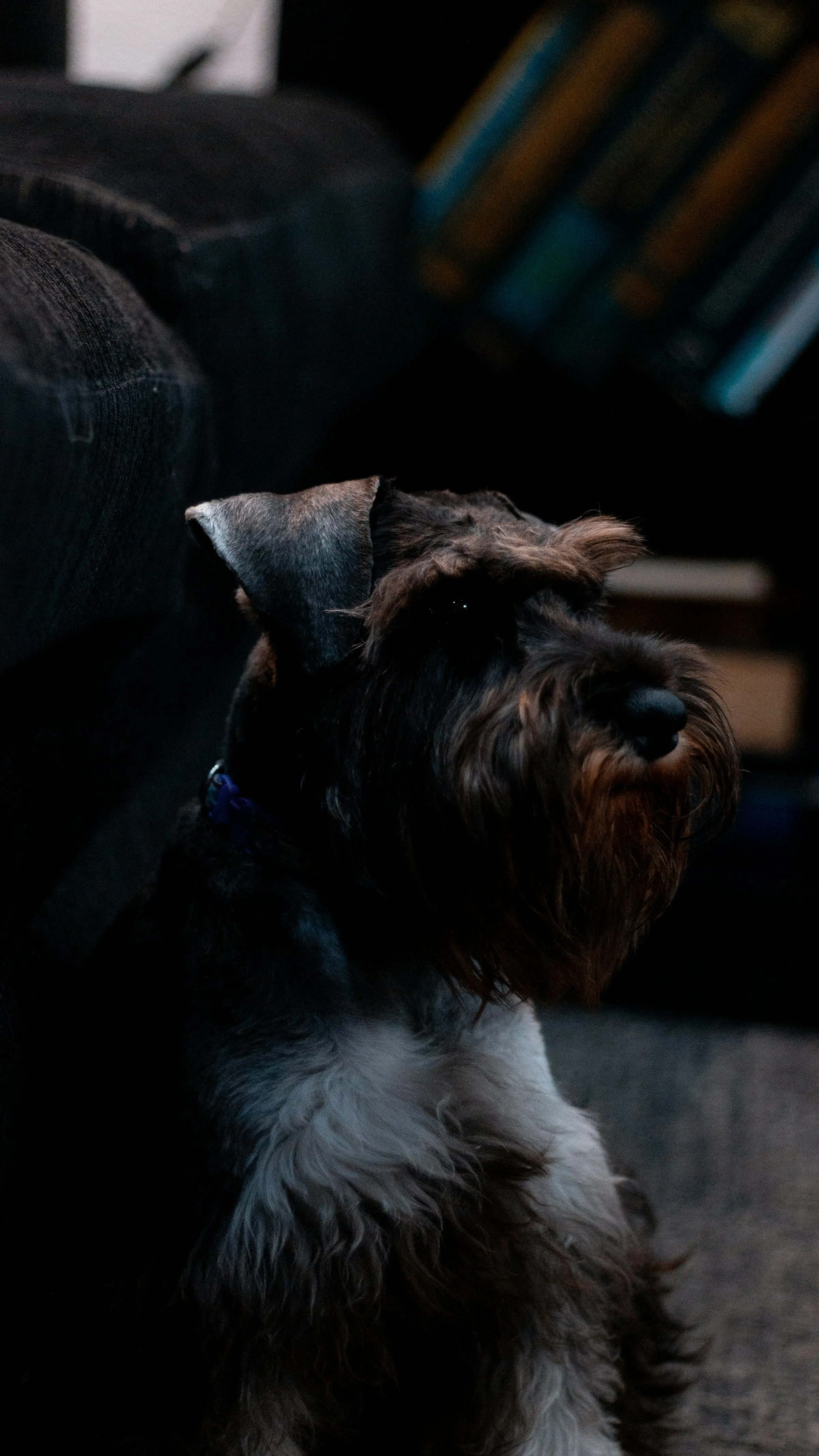
Pet missing? Get help.
If your dog, cat or other pet is missing – call now. We search for lost pets across Lithuania with thermal imaging and help cover areas that are hard to check on foot.
DRONO.LT provides lost pet (dog and cat) search assistance in Lithuania using drones with thermal cameras. Aerial support complements ground search — it does not replace it. This service is for missing pets; human search-and-rescue support is described on the separate Search and rescue page.
My dog is missing. What should I do now? The first minutes matter. Use this short checklist before calling for drone support.
Fast action improves odds; it does not guarantee a find.
Can a thermal drone find a dog at night?
A thermal camera measures heat differences, not visible light — at night it is often more useful than a normal camera. It is not X-ray vision: cover, weather and animal size limit what can be seen reliably.
We always combine aerial work with ground search. We do not guarantee a find; we help cover large areas faster and more systematically.
Honest limits so expectations stay realistic:
In those cases we say clearly whether a flight is worth it.
Each guide targets a different intent:
First-hour plan and when to change strategy.
Hiding behaviour and quiet urban search.
Safety in the dark and thermal use at night.
Terrain, sectoring, when air helps.
Traffic, yards, apartment buildings.
Heat imaging, limits, realistic expectations.
Checklist before deciding on a drone.
Reduce escape risk at home.
When a pet goes missing, time is critical – so we act as quickly and efficiently as possible. The first hours are the most important for a successful recovery: pets often stay within the same radius until fear, hunger or injury drives them further away.
DRONO.LT uses advanced thermal imaging and aerial search to cover large areas quickly in places that are difficult to search on foot — finding the animal is not guaranteed.
Searching for a lost pet is one of the most emotionally difficult moments for a family. Even in familiar surroundings, fear, terrain and the time elapsed make recovery harder as the animal may travel far from the last seen location.
Read the guide
Frightened animals often hide silently – under cars, in bushes or building cavities – so traditional foot searches miss them.

Dense forest, tall grass, ditches and construction sites limit visibility and slow down ground coverage.

Traffic, noise and unfamiliar people push pets further from home and the last known location.

Every hour that passes increases the chance the animal has wandered further – the search area must be planned strategically.
Urgent steps depend on the situation. These practical guides help you avoid losing time while deciding whether aerial support is needed.
Action plan for the first hours: where to search, how to alert neighbours and when to change strategy.
Cats often hide near home. Where to check, how to search quietly and what to avoid.
Night search: safety in the dark, light, sound and when to call thermal aerial support.
We combine thermal imaging, an experienced operator and clear coordination between air and ground. In a short time we cover large areas and provide precise coordinates for follow-up search.
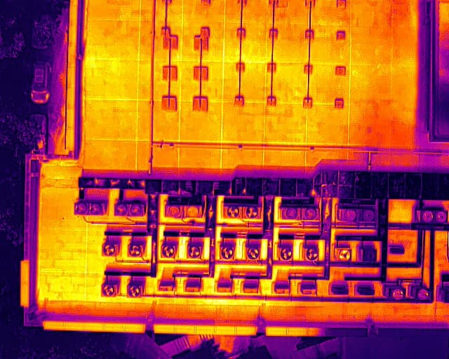
We use high-resolution cameras, thermal imaging and real-time GPS marking. This lets us scan areas efficiently where a foot search would take hours.
Before flight we assess terrain, pet behaviour and environmental risks. We tailor the search strategy to each case – not from a template.
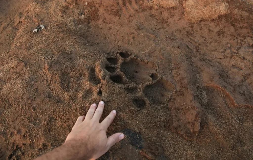
We work with the family and volunteers: the drone scans from above while you receive clear directions on the ground based on live video and coordinates.

Owners provide key information: breed, last location, behaviour.

Based on terrain, pet habits and the last known location.

Drones with thermal imaging and cameras scan the area.

We analyse live video and direct the ground search.

If a useful heat signal appears, we coordinate ground verification and next safe steps — finding the animal is not guaranteed.
Search from €140 + €0.30/km outside the Vilnius region. Standard search – €140 for up to 3 hours of flight and coordination. Every search starts with a personal consultation – we learn about your pet, its habits and last known location.
You can join the search or let us carry it out on your behalf – whichever suits you. Wider regions incur mileage (€0.30/km); longer searches are priced individually.
Every search is different. We assess the situation before confirming the price – the first step is always a short phone or form consultation.
We quote after assessing your situation – we do not copy competitor price lists.
Standard search suits most cases. The service includes:
This package is designed to help quickly and precisely when every minute counts.
If the search location is outside the Vilnius region, this package includes everything from the standard search plus a travel fee:
We can arrive quickly in your region and provide the same thorough, caring service.
Some searches require more time due to terrain, distance or other factors. Extended search includes:
We agree price and schedule based on expected search duration and distance so the service is as efficient as possible.
We recommend these additional ways to help find a lost pet.
Free tools: search plan, poster with QR, map and drone assessment.
Practical guides: what to do if a dog or cat is missing, and when a drone can help.
Free tool for social media posts and printing.
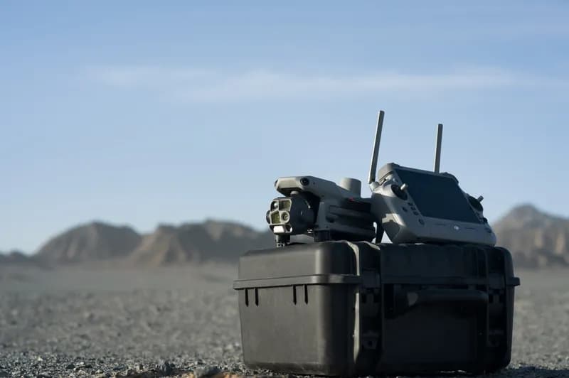
DJI Matrice 4T with thermal camera – specs and purpose.
EASA-certified drone operator – experience and certificates.
Notify shelters and rescue centres about the missing pet.
Alert nearby clinics – found animals are often brought there.
Share notices in local "Lost dog" and "Lost cat" groups.