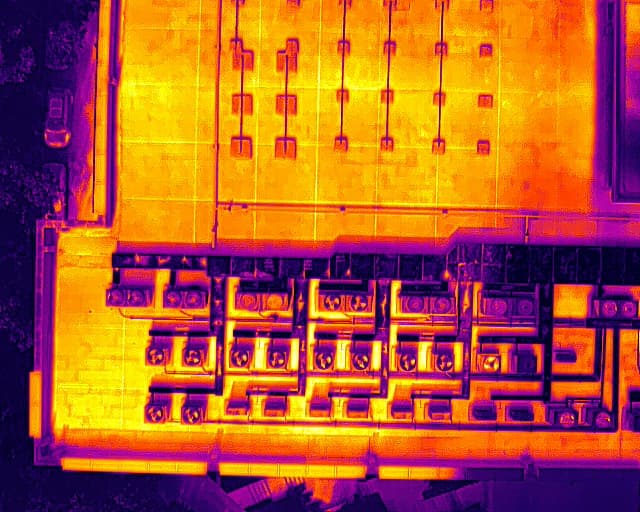
How does a thermal camera work?
A thermal camera detects infrared radiation – the temperature difference between a live body (~37 °C) and the environment. The operator flies systematically over the designated area and watches the thermal image together with an optical camera.
If a suspicious heat contrast appears, GPS coordinates are recorded – then checked on the ground.
How does aerial search work?
- Short consultation – location, time, area, description.
- Flight plan based on terrain and weather.
- Systematic scanning in thermal and optical mode.
- GPS coordinates for suspicious findings.
- Coordination with you or volunteers on the ground.
When is a drone especially useful?
- Area larger than a few hectares.
- Forest, tall grass, ditches – limited visibility on the ground.
- Several hours have passed – direction unknown.
- Night or dangerous terrain on foot.
- Need to systematically survey an area and get coordinates.
Limits and realistic expectations
Dense vegetation, roofs, and walls block the signal. A hot day reduces contrast. Other heat sources – pipes, livestock – can mislead.
A thermal drone can help check larger areas faster, but it is not a guarantee the animal will be detected.