Radiometric thermal imaging
Accurate temperature measurements for every pixel – post-flight analysis and objective zone comparison.
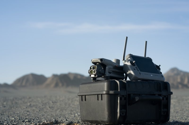
Enterprise-class platform – the same technology used by European energy companies, rescue services and infrastructure operators.
Four-camera system with thermal imaging, 112× optical zoom and laser rangefinder – all required data in a single flight.
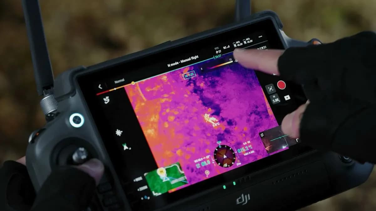
Consumer drones are fine for photos. The M4T is built for professional SAR and inspection when you need accuracy, safety and repeatable results.
Accurate temperature measurements for every pixel – post-flight analysis and objective zone comparison.
Wide RGB, telephoto and thermal in one flight – no need for multiple sorties.
Up to 1,800 m with sub-metre accuracy – safe distance for infrastructure and tower inspection.
49 minutes of flight – large areas, extended search and automated inspection routes.
For each service I select the optimal camera configuration and flight parameters to achieve the most accurate results.
Thermal + wide RGB at 15–25 m – best early morning or evening when temperature contrasts are highest.
Automated route at 30–40 m – ~0.5 ha per minute, hot spot detection.
112× zoom and laser rangefinder – bridges, lines and towers from 100+ m distance.
Thermal day and night – body heat signatures and GPS coordinates for ground teams.
Radiometric measurements for property, industrial and commercial sites.
Thermal scanning in forests and fields – fast coverage of large areas.
All flights comply with EASA requirements and Lithuanian CAA regulations. Operations are covered by civil liability insurance – safety for clients and third parties in the event of an unexpected incident.
More about certificates and legal basis – on the about us page.
All data collected during the flight – photos, thermal images, reports – is your property. Stored securely, transferred only to you, not published without explicit consent. Deleted upon request after project completion.