
Missing person
In forest, fields, near water or an unknown location – thermal imaging helps detect body temperature differences day and night.
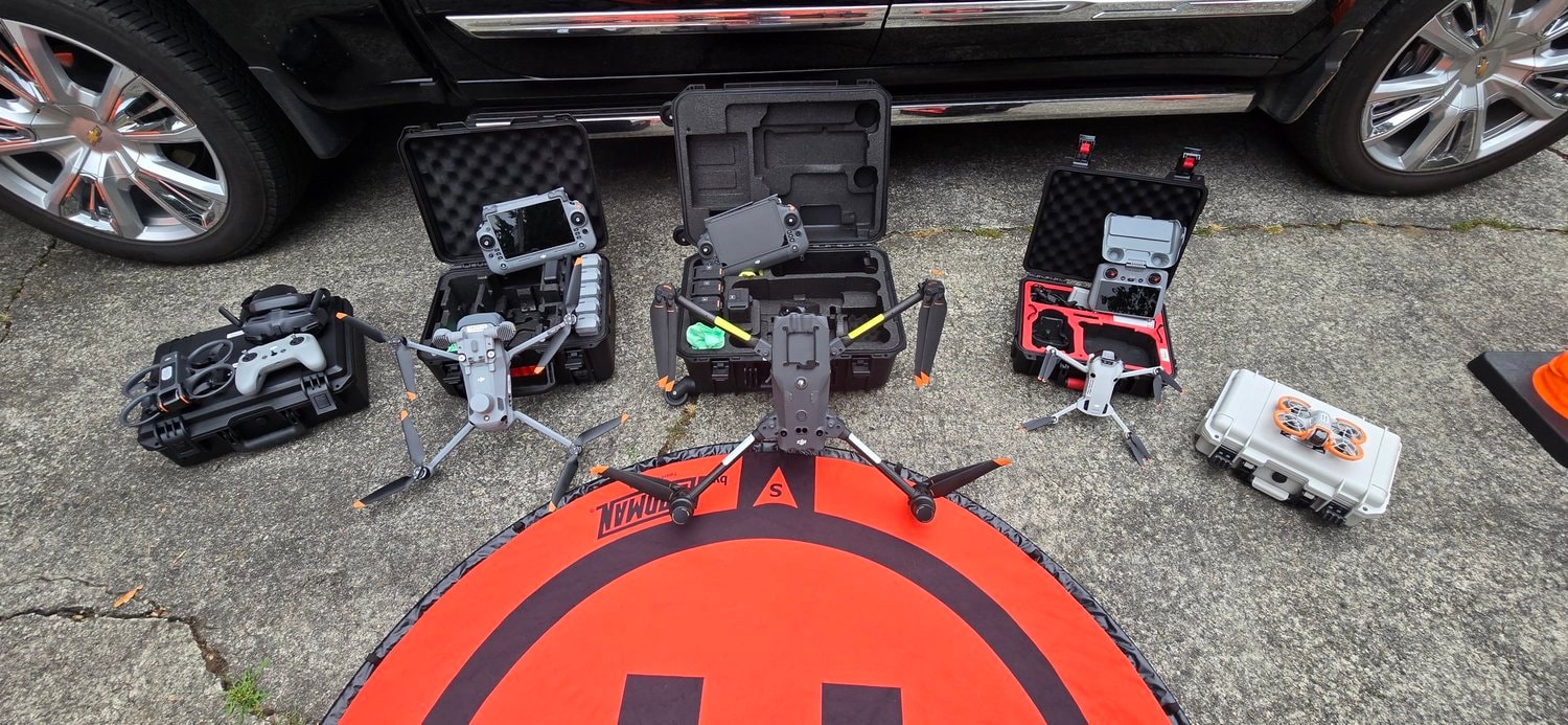
This page covers drone search and rescue (aerial technical support, including missing-person situations). Dedicated lost dog and cat search is described on the Pet search page.
A missing person or pet lost in a forest or unfamiliar area – time becomes a critical factor. Traditional foot searches cover only a narrow area, while dense vegetation, darkness and terrain limit visibility.
A drone with thermal imaging can cover 50–100 hectares in 30–60 minutes and relay precise GPS coordinates for a find or heat source. In the Vilnius region we respond to urgent cases within 1–2 hours.
If there is an immediate threat to life, always call 112 – we provide technical aerial support and complement official or volunteer search efforts.
DRONO.LT does not provide emergency medical services and does not replace official rescue services. If life is at risk – call 112.
Call 112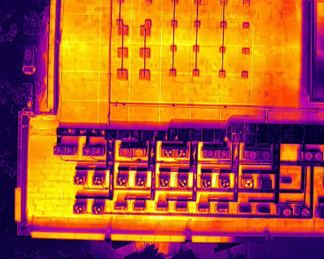
Termovizinė paieška
A drone is not the first step in every situation – the first hours are often best spent searching on foot near the last seen location. Thermal search from the air especially helps when:
Before flight we assess whether aerial search makes sense right now – sometimes strengthening ground search is better.
A thermal drone is not a magic radar. A thermal camera measures infrared radiation – temperature differences on surfaces. It does not produce a normal photo like a phone and does not guarantee a find.
A thermal drone can help check larger areas faster, but there is no guarantee the animal will be detected. Every suspicious heat signature must still be verified on the ground.
A thermal camera detects infrared radiation – the temperature difference between a living body and its surroundings. The operator flies systematically over the search area and monitors thermal and optical feeds.
If a suspicious heat contrast appears, GPS coordinates are recorded – then verified on the ground with the owner or volunteers. This is especially useful at forest edges, fields and large plots.
Important: thermal cameras do not see through walls or trees. Detection depends on ambient temperature, vegetation, terrain, distance, the animal's position and weather.
Thermal imaging is most effective when you need to cover a large area quickly and detect heat sources invisible from the ground.
In forest, fields, near water or an unknown location – thermal imaging helps detect body temperature differences day and night.

Dog or cat in forest, meadow or city – dedicated pet search with fast response and ground coordination.
Pet search
Tall grass, bushes and no vehicle access – the drone scans the area systematically without skipping zones.

Parks, construction sites, industrial areas – rapid overhead survey with coordinates for follow-up search.
We combine radiometric thermal imaging, an EASA-certified operator and clear coordination with the ground search team. The result is not just imagery – but coordinated action.
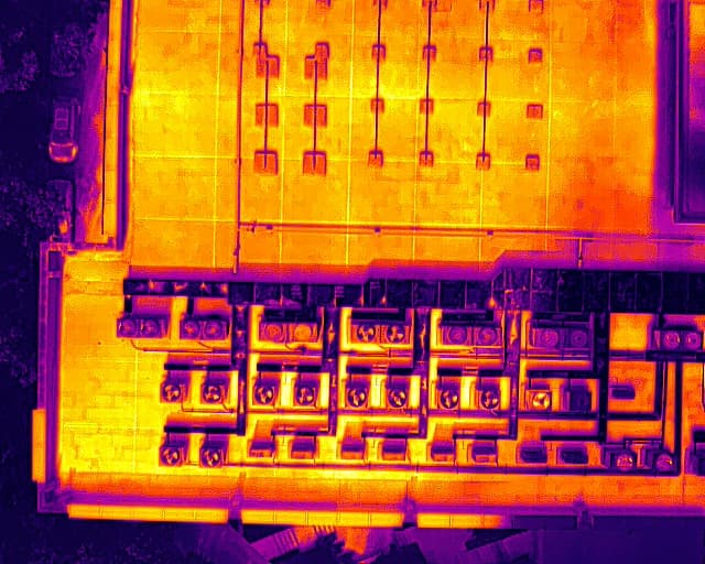
The radiometric camera captures heat anomalies – a living human or animal body (~37 °C) stands out from the surroundings even through dense vegetation or in darkness.
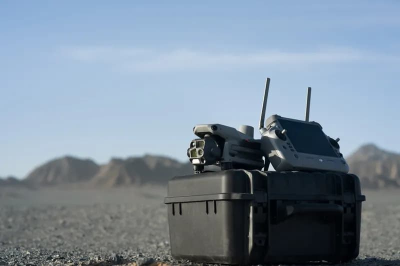
Before flight we assess weather, flight zones, terrain and search priorities. In urgent cases we prepare the flight as quickly as possible while meeting safety requirements.
When an object or heat source is found, we relay precise GPS coordinates to rescuers, police, volunteers or the family – making the ground search more accurate.

We record the last known location, time, description and contacts. In urgent cases we begin preparation immediately.

Based on terrain, weather, day/night conditions and area size we draw up the flight route and priority zones.

We scan the area in thermal and optical modes, analyse the image in real time and mark coordinates.

We pass finds or suspicious zones to the ground search team – you can join or let us coordinate.

After the flight – route, frames, coordinates and, if needed, a plan for rescanning.
Every search starts with a brief consultation – we understand the situation, area and urgency. Then we provide a clear quote with estimated time and price.
For urgent cases in the Vilnius region we respond within 1–2 hours. Elsewhere in Lithuania we agree arrival and travel costs individually.
Suitable for local search in the Vilnius region (up to ~50 ha). Includes:
Call us directly in urgent cases – the sooner we start, the better the chance of success.
In the Vilnius region we usually respond within 1–2 hours in urgent cases, depending on weather and flight zone. Elsewhere in Lithuania we agree arrival individually.
The radiometric camera captures heat differences – a human (~37 °C) or animal body temperature stands out from the surroundings even through dense vegetation. We scan the area systematically and relay GPS coordinates.
Yes – thermal imaging works day and night. At night the temperature contrast is often greater, so detection can even be easier. Optical video helps confirm a find.
Thermal imaging helps detect a living animal's heat source in forest, fields or urban areas. For dedicated pet search we have a separate service – the "Pet search" section.
Depending on terrain and altitude, in 30–60 minutes we often cover 50–100 ha. The initial package is up to ~50 ha; for a wider search we plan an additional flight.
Record the last seen location and time, inform neighbours, police or volunteer groups. For a missing pet – use our free poster generator and read the guide "Why it's hard to find a lost pet".
No. We provide technical aerial support and GPS data. If a human life is at risk always call 112. Our data complements official or volunteer search efforts.
Initial search from €80 (up to ~50 ha). For a larger area or additional flight – €150–200. Travel outside the region: €0.30/km. For non-urgent cases we send a quote within 24 hours.
Additional ways to speed up the search and inform the community.
If a human life is at risk – contact emergency services first.
Dedicated missing pet search with pricing and process.
Free notice for social media and printing.
Practical guide for families – what to do in the first hours.